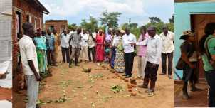
Decolonizing Land Governance and the Politics of Conflict and Peace Organising institution Utrecht University Faculty Faculty of Geosciences €695 Decolonizing Land Governance and the Politics of Conflict and Peace
Cultures of Adaptation: Theories and Methodologies Organising institution Utrecht University Faculty Faculty of Geosciences €500 Cultures of Adaptation: Theories and Methodologies
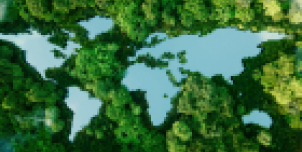
Foundations of Planetary Health Organising institution Utrecht University Faculty Faculty of Medical Sciences Faculty of Geosciences Centre for Global Challenges €900 Foundations of Planetary Health
Transforming Systems for Planetary Health Organising institution Utrecht University Faculty Centre for Global Challenges Faculty of Geosciences Faculty of Medical Sciences €900 Transforming Systems for Planetary Health
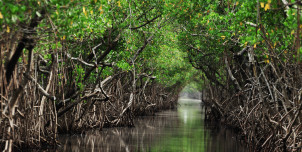
A Multidisciplinary Approach to Nature-based Solutions in Deltas Organising institution Utrecht University Faculty Faculty of Law, Economics and Governance Faculty of Geosciences Faculty of Science €775 A Multidisciplinary Approach to Nature-based Solutions in Deltas
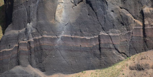
Hands-on GIS for Earth Scientists Organising institution Utrecht University Faculty Faculty of Geosciences Closed Hands-on GIS for Earth Scientists
UFS Futuring Summer School: Futuring for Democracy Organising institution Utrecht University Faculty Faculty of Geosciences Closed UFS Futuring Summer School: Futuring for Democracy